Grey Mare’s Tail, St Mary’s Loch and Talla Reservoir
Grey Mare’s Tail
It was an early start, we wanted to get to the Grey Mare’s Tail around sunrise – an hour’s drive with a packed breakfast. An early morning mist sat in the foothills, but as we approached Moffat it turned to fog, and the hilltops were under cloud cover.
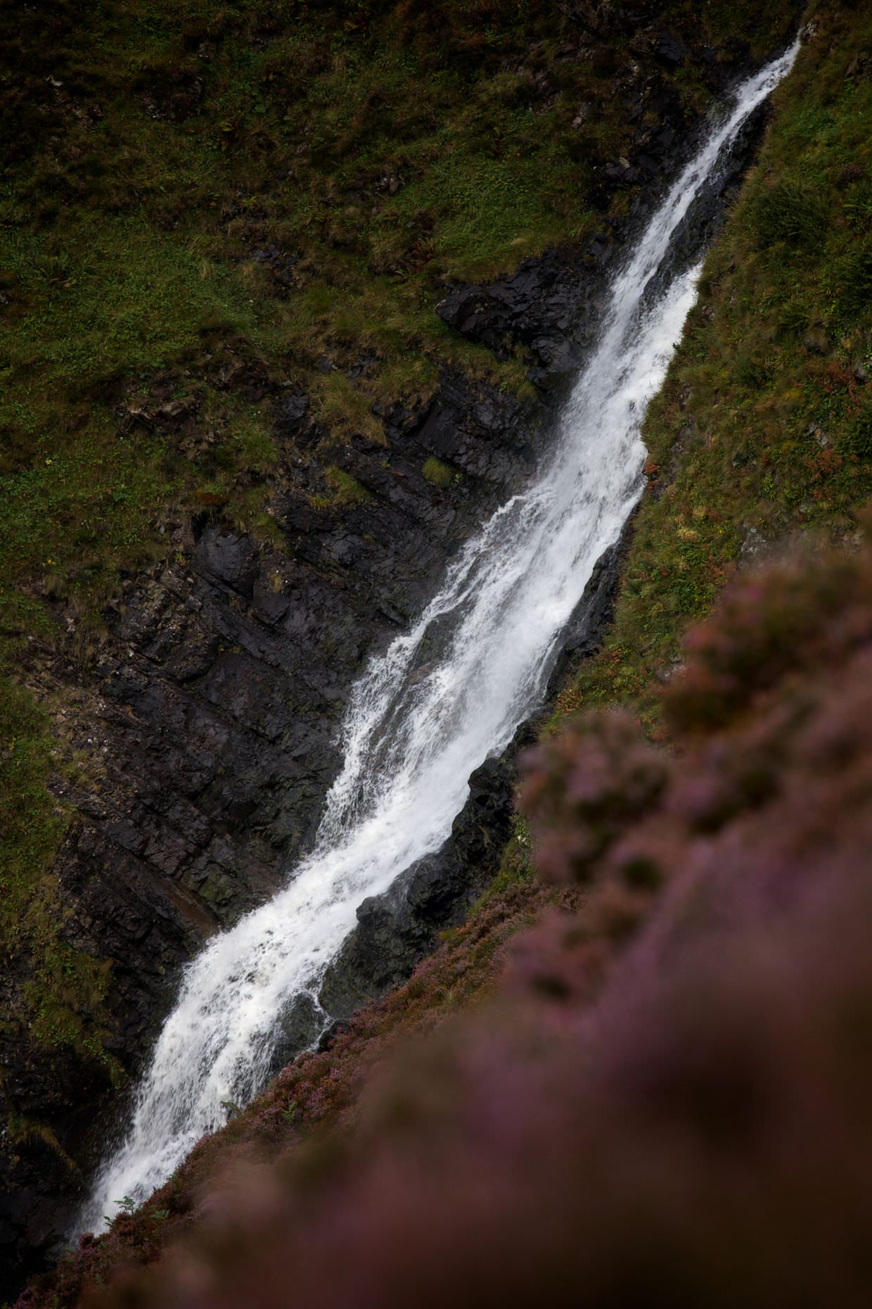
The Grey Mare’s Tail is a 60m “hanging vallery” waterfall – the UK’s 5th highest, that looks not unlike the tail of a horse. The area around the waterfall is simply, The Grey Mare’s Nature Reserve. The water flows from Loch Skeen, a gorgeous lake that awaits you at the top.
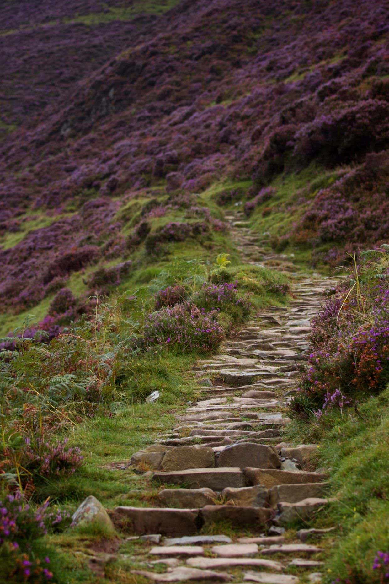
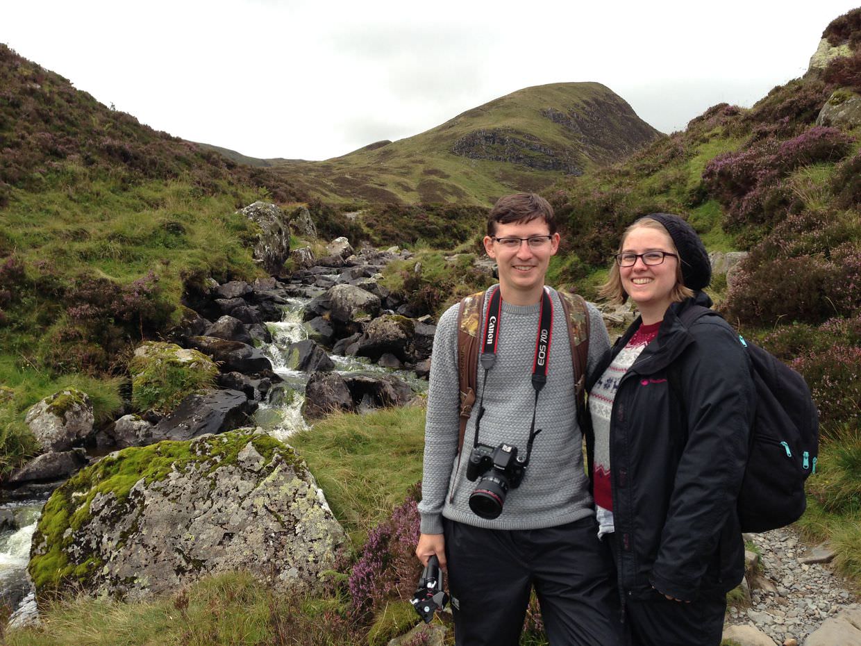
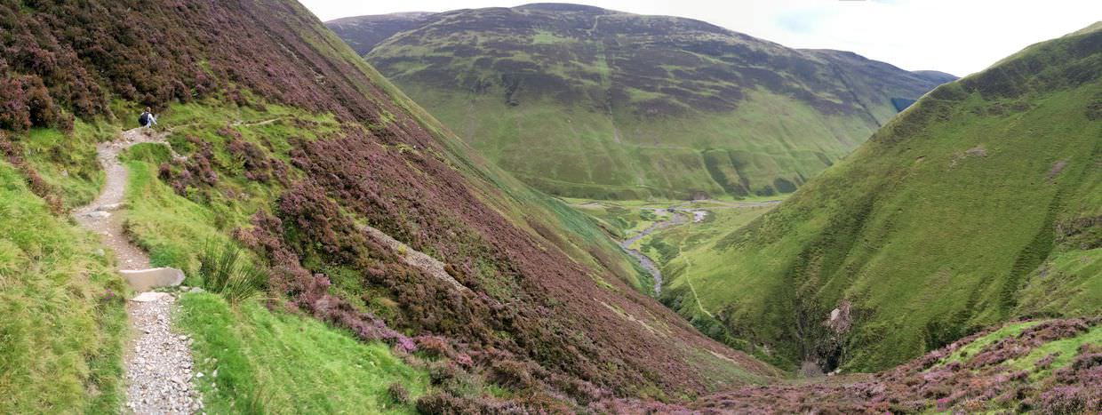
We didn’t have the weather we’d hoped for, but set off on the steep hike anyway. At least today it wasn’t belting it down with rain, like that last time we passed through. The climb is hard, stone steps give way to a thin muddy path as the trail takes you higher and higher, above and over the waterfall. I feared Sam would get vertigo, but there weren’t any steep drops, just steep inclines that you’d roll a long way down, she was sure footed and we avoided any drama. The hills are covered in beautiful purple heather, and an occasional sheep makes a feast of them.
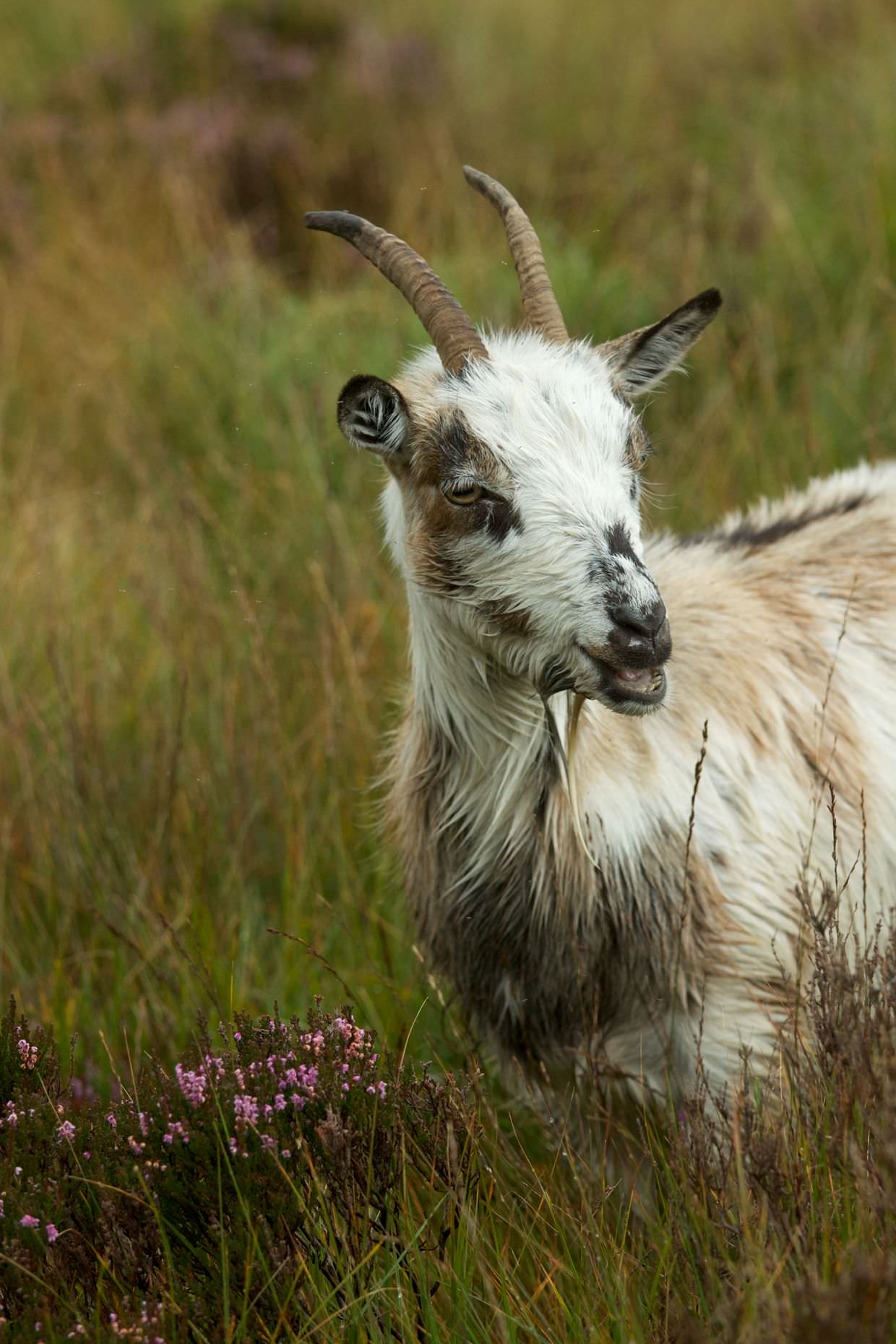
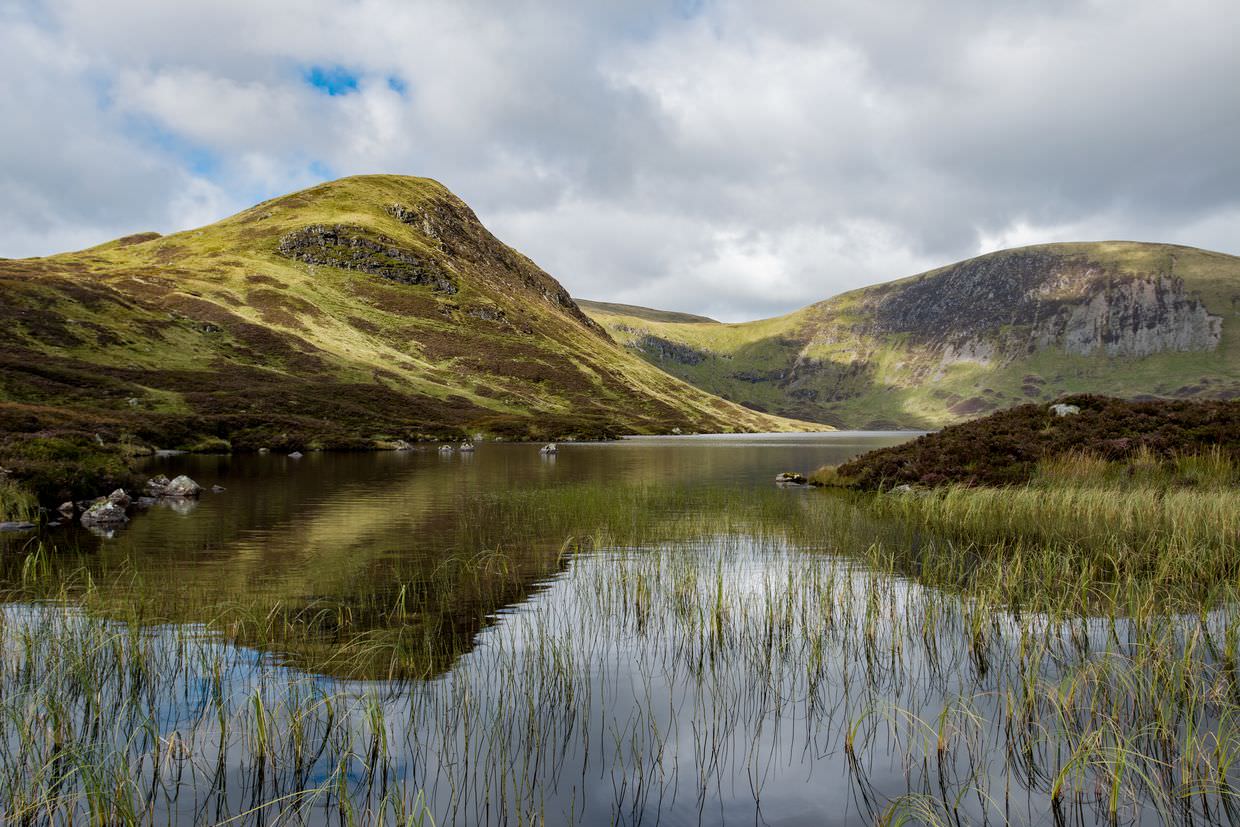
High above the waterfall the trail levels out as you head inland, along the stream, towards the loch. In the distance we could now see White Coomb, and we could see glorious sunshine streaking through the clouds onto the summit. It soon disappeared and our mad dash hadn’t brought us close enough. The zig-zaggedy trail keeps going, and we found some wild goats grazing nearby; the oldest had great curling horns and a wispy beard – it eyed us with suspicion while the others continued munching.
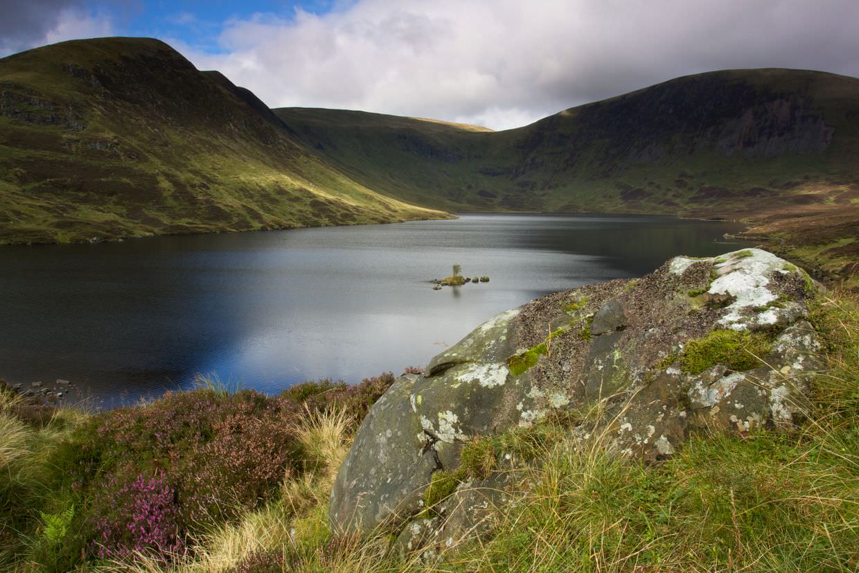
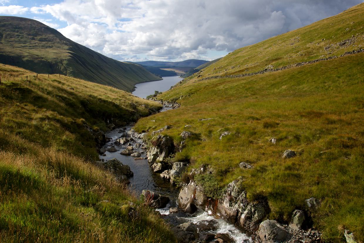
Rather unexpectedly a hill brings you out over the surface of the loch, the water level at head height, the magnanimous loch welcomes you. Loch Skeen is a place of great beauty; high in the hills, remote; we were the only ones there and there was not a sign of civilisation in any direction.
The weather wasn’t doing much, but we’d seen light doing interesting things so knew that it would be worth waiting a while. Along the water’s edge we looked for a unique composition; something that showed the island in the middle, the curves of White Coomb, the rocks beneath us. And then we waited, for an hour we watched the scene change, the light wind coming and going, the clouds moving just above our heads, parting for a few moments but never in the right place. Eventually we got the light we were after, the sun broke through and gave life to our surroundings.
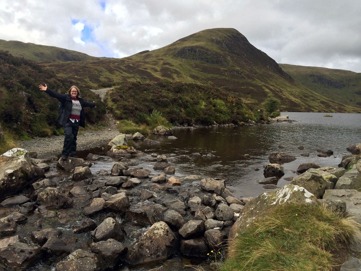
The walk back down is always much faster, and after some posing on the stepping stones near the loch, we were soon back by the car enjoying a cup of tea (you need to bring your own!).
Tibbie Shields, St Mary’s Loch
Just along from the reserve, to the East, we found St Mary’s Loch and its smaller partner, Tibbie Shields. This is where we’d stopped in the rain before, but today the weather was pleasant; the sun was out and the fog had gone; the lakes even paused for reflection every now and then. The biker cafe here did us some dirt cheap grub.
Megget and Talla Reservoirs, Devil’s Beeftub
A map at the cafe revealed a road that cuts through the hills that wasn’t on Google Maps. A little wary of going off-piste, we proceeded along the single track road which had the occasional passing point. Our first point of interest was Megget Reservoir, a man made lake with the largest earth dam in Scotland, it feeds Edinburgh. A hiker, who happened to be a civil engineer, explained the place to us.
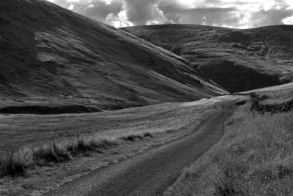
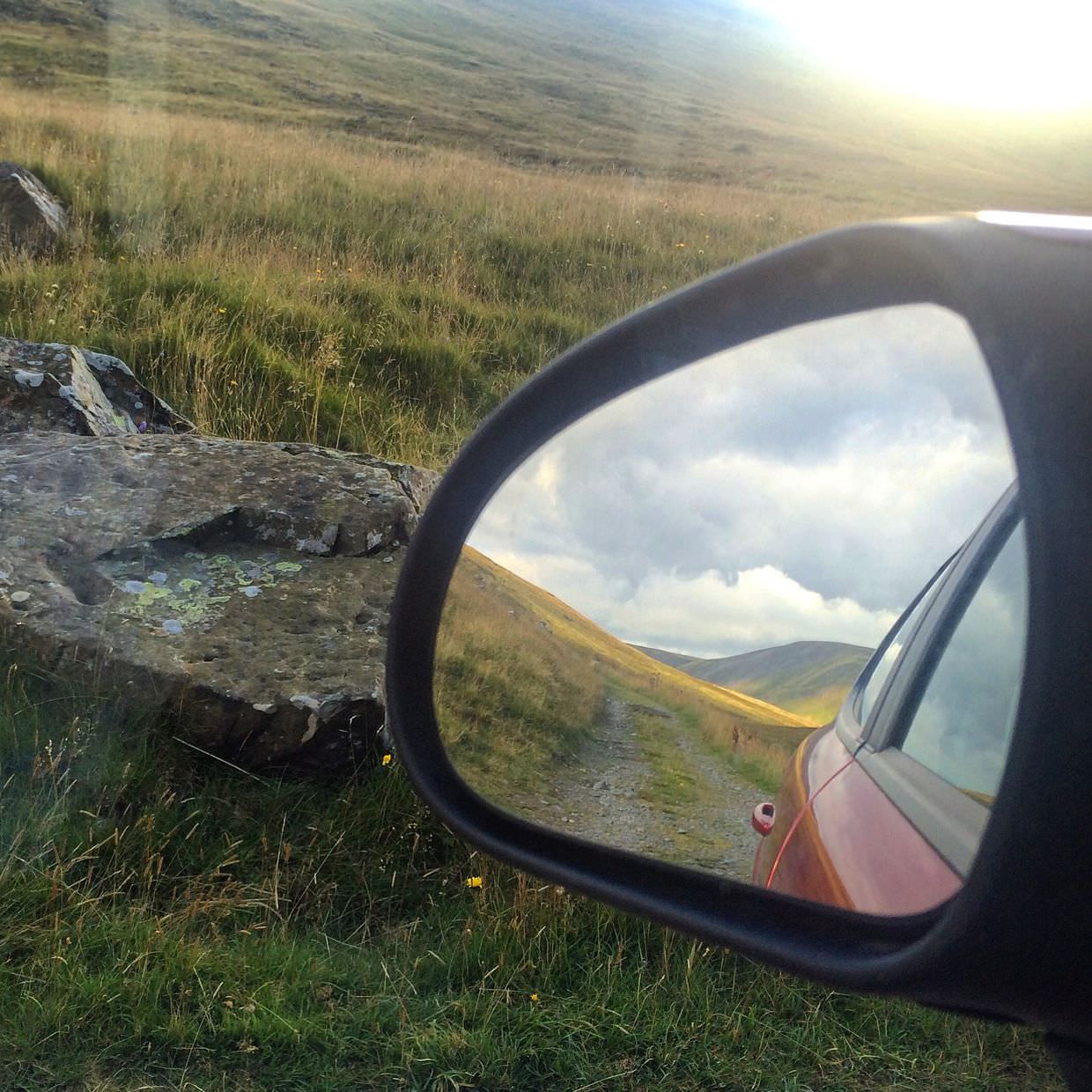
Around the reservoir are a couple of farmhouses, but as the road progresses the dwellings dwindle. Once again we waved goodbye to civilisation, and we didn’t pass another car along the way. The route climbs higher, through the glorious Southern Uplands, where it finds a stream, a bridge and a spectacular view to the North overlooking Talla Reservoir. We gasped; we reversed back up the road, parked in the field and watched the world go by for an hour as the afternoon turned to evening.
When we descended into the valley towards the reservoir the golden light was astounding. Row boats on the water’s edge made a lovely foreground; a house nestled in trees did too, and even the asphalt road glistened in the light. Minutes later the sun had dipped below the hills, and the scenes were in shade.
Our unmapped road rejoined the A701, bringing us onto the main road home, and conveniently taking us past The Devil’s Beeftub, a 150m deep hollow in the Southern Upland hills, visible from the road.
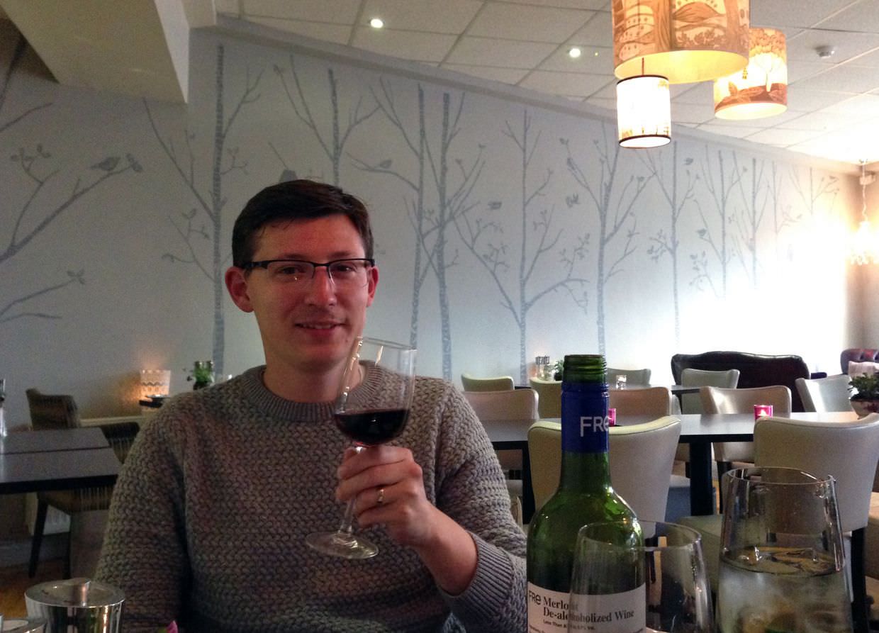
Dinner at Brodies
In Moffat we found a bit of mobile signal, and consulting Trip Advisor and the Michelin Guide, tried out a nearby restaurant for dinner. Brodies is a place with fabulous decor and character. Uncharacteristically tonight was a steak night, and we made the most of the deal with two sirloins; there was a free bottle of wine on offer too, we got the non-alcoholic variety – we shan’t do that again.