Day 4 – Tadapani to Jinhudanda
Day 4 – Tadapani to Jinhudanda
7.8 miles in 7h15
Total climb: 1507 feet, 460m
Total descent: 4712 feet, 1436m
Minimum Elevation: 5648 feet, 1721m
Maximum Elevation: 8859 feet, 2700m
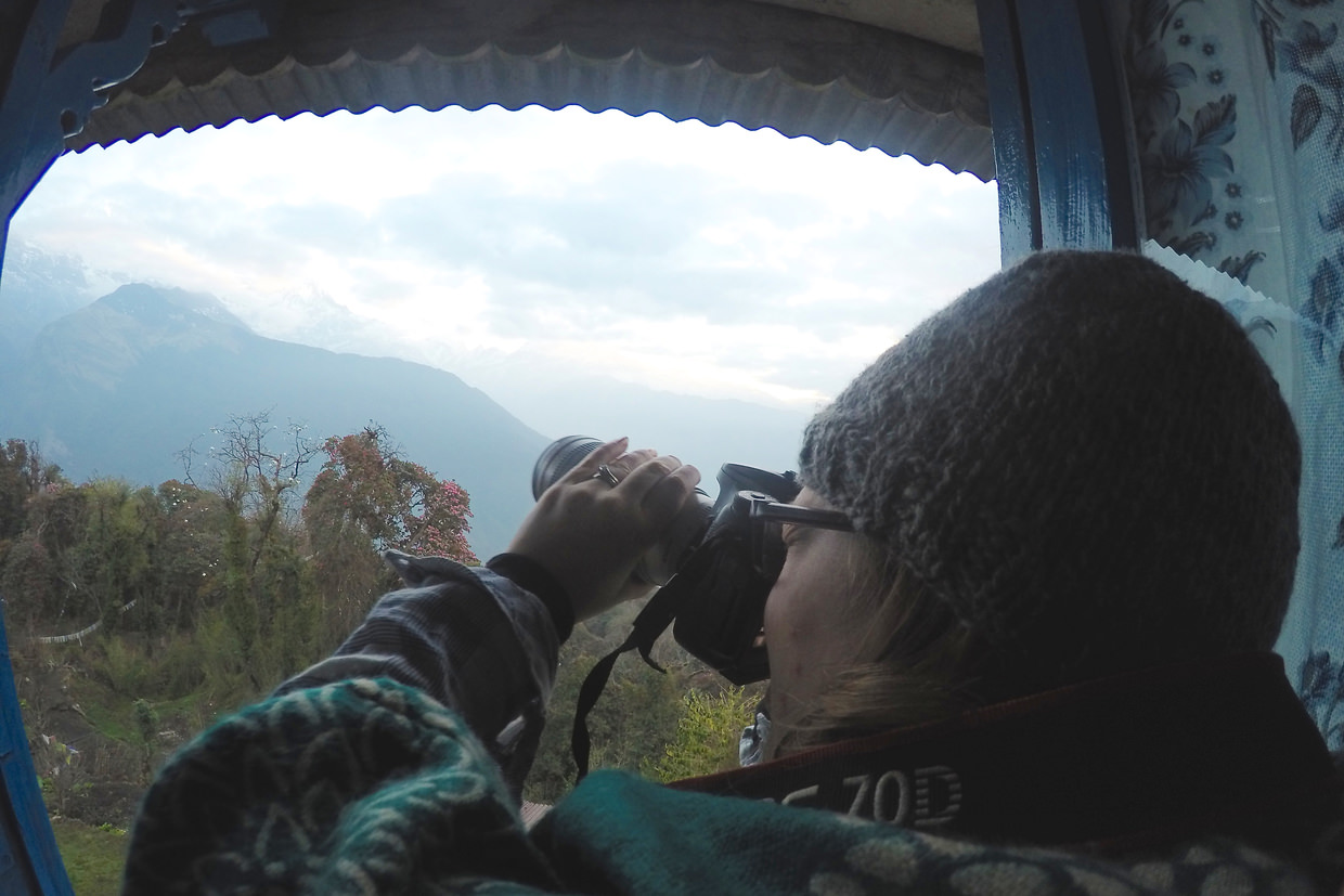
With our ear plugs and eye masks we slept soundly, our alarms waking us shortly before dawn. We rolled over, opened the curtains and looked for the mountains from our bed. At first glance it looked disappointing, it was cloudy – the mountains were hiding. Yet as we watched, the clouds began to clear, revealing Annapurna South, Hiunchuli and then Machapuchare. As the sun came up and the orange light struck the mountains, the clouds burnt off, and by breakfast the skies were clear.
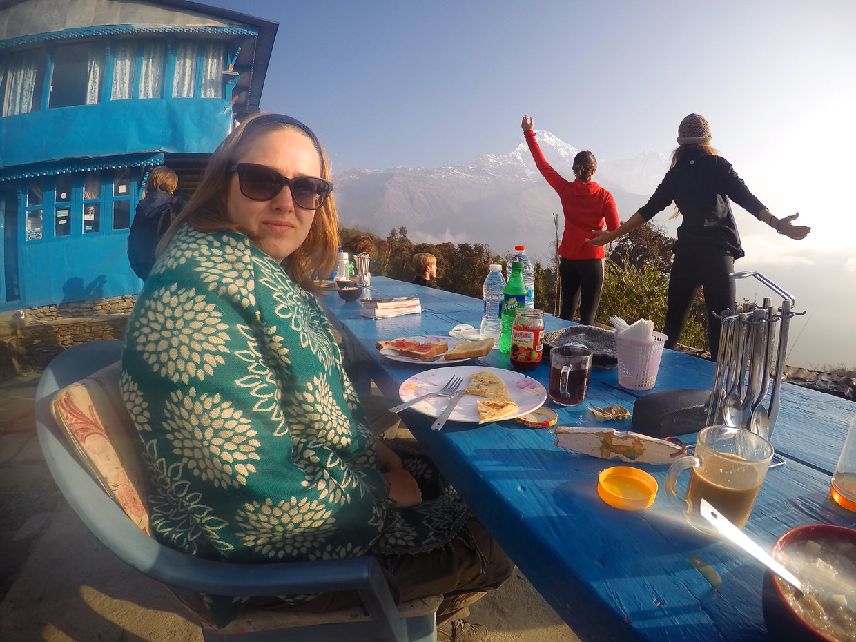
Outside, beneath clear blue skies and in the crisp morning air, we marvelled at the mountain peaks over breakfast. An idyllic scene; sun shining, trekkers doing yoga, birds singing in rhododendrons. Almost perfect, bar the revolting (gloopy) porridge.
Today’s trek would begin bringing us down from the hills, leaving the mountains behind. Many of the other trekkers were heading up to the Annapurna Base Camp (ABC) trail, or heading home via Ghandruk – we’d opted for a slightly different route – heading North East to the hot springs of Jinhudanda.
Tadapani to Chomrong pass
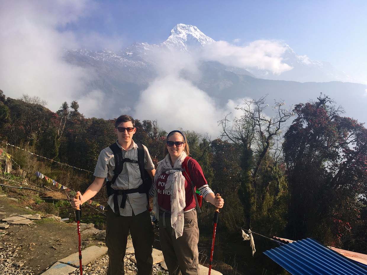
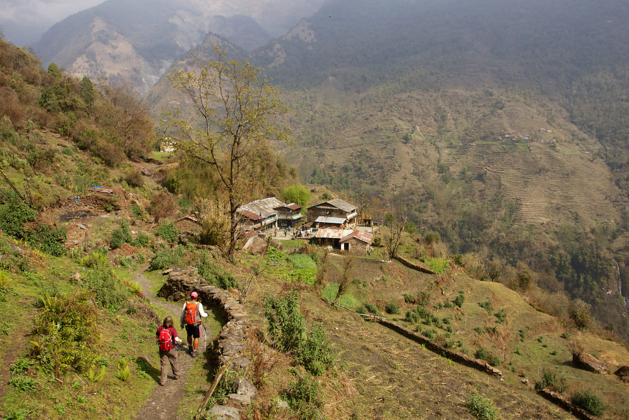
As we left Tadapani, we took the road north, but heading downhill. The path was familiar. Rhododendron forests, tree trunks wrapped in green moss, red petals littering the floor. The occasional collapsed tree, the morning light pouring through, making the dew glisten. Shortly we emerged from the forests into farmland and pasture. Areas of land sufficiently flat for cattle, and terraces carved from the hills for crops. We passed fields with buffalo and cow, and rice paddies being prepped for monsoons.
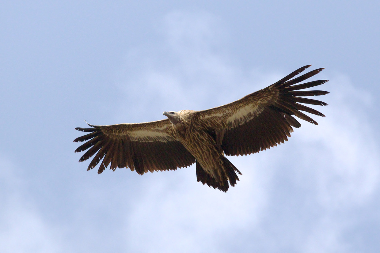
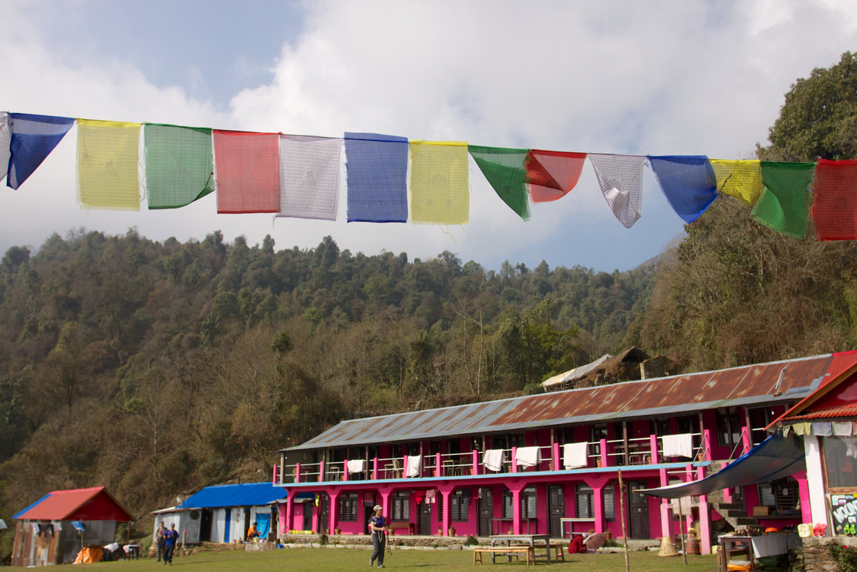
One lodge, near Mridi, had a grass field in front, with spectacular views south. We stopped for coke, and Samantha bought some very warm yak socks. Above us a huge himalayan vulture circled, riding the thermals, it swung around very close before rising again to the heavens. I tried to picture it against the prayer flags.
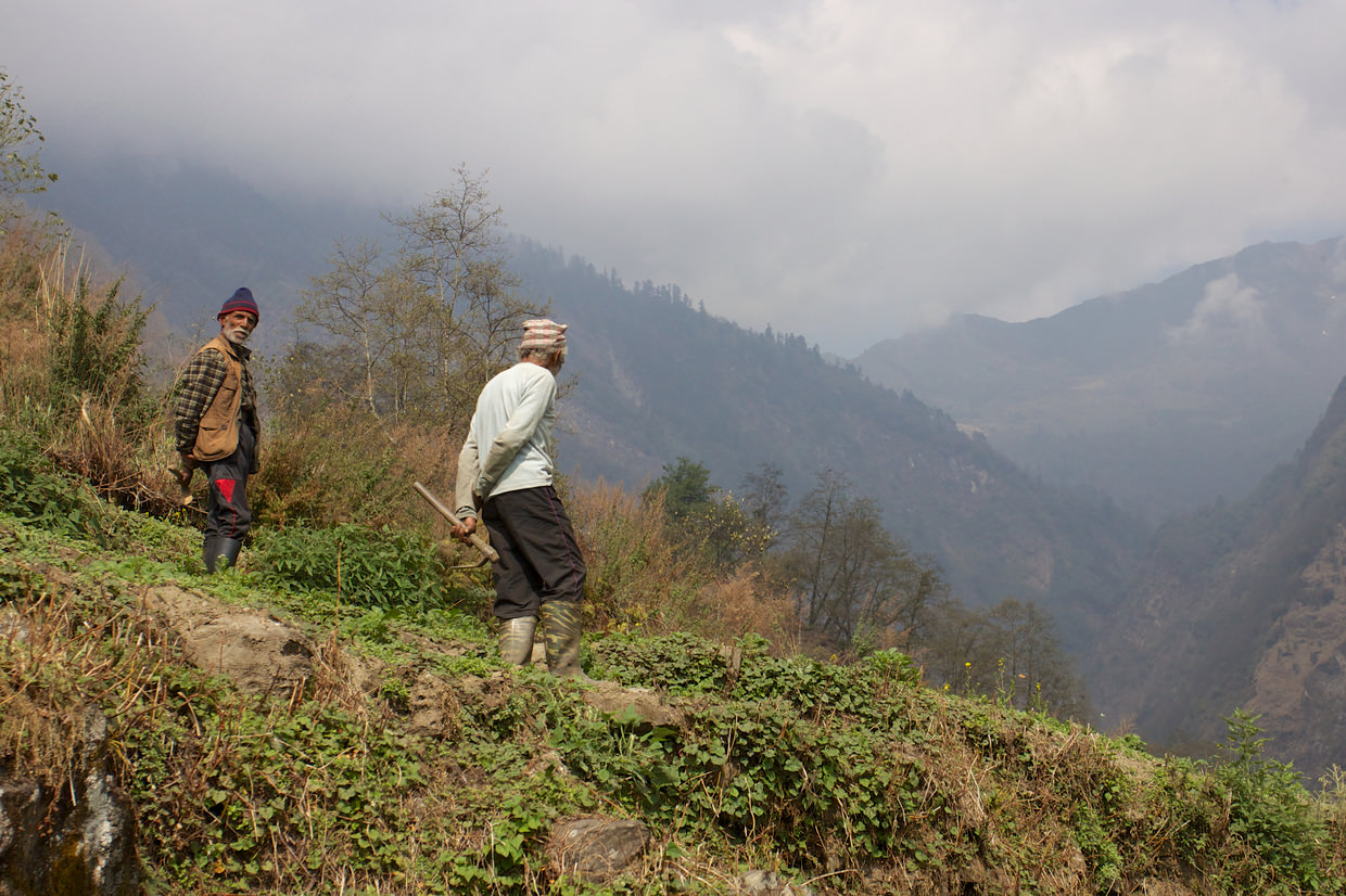
Through the farmland we descended, past cows ploughing, and farmers sowing; at one farm a young puppy was tied up – a metal wire wrapped around its neck, in a place with little shade. Later a cow and calf were being ushered down the hill, the calf, very young, looked exhausted, while the farmers pushed them onwards with their bamboo sticks. We wondered about the Nepali relationship with animals, both wild and farmed – our experiences were not encouraging.
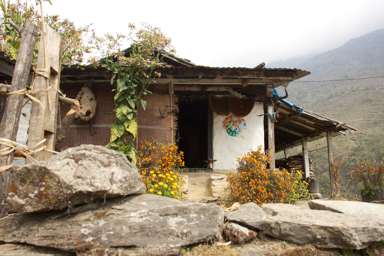
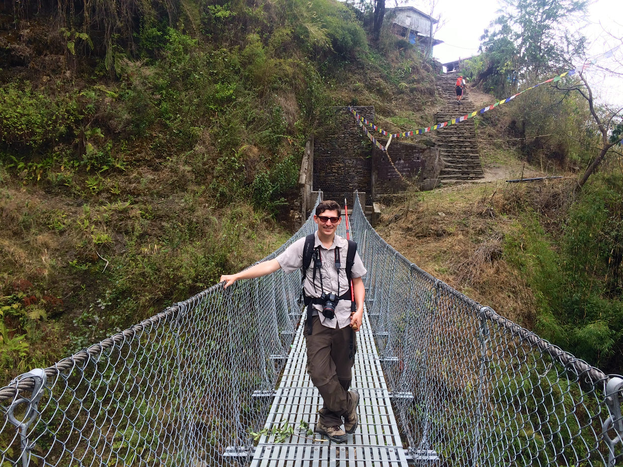
From the farmland we crossed a wire-bridge and climbed up the opposite side of the valley, to the village of Ghurnung. Labourers were using great saws rested against tree trunks to cut timber. The trail passed a primary school, with new metal gates funded by the Gurkha cleaning and laundry service in Tonbridge, UK – as that’s where Sam works she took great delight in this discovery. Around Ghurnung are field after field of barley, used to make beer, it looked about ready to harvest.

Chomrong pass to Jinhudanda
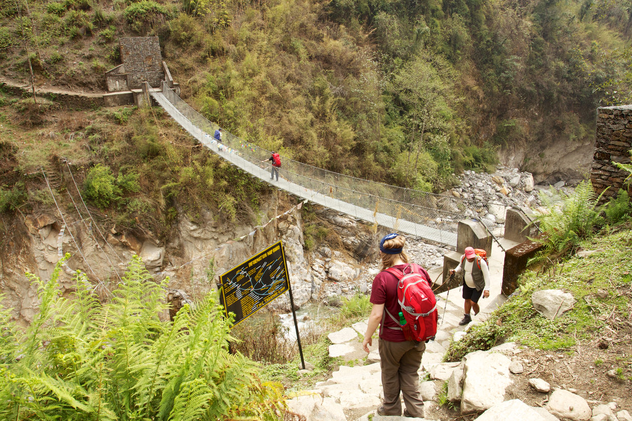
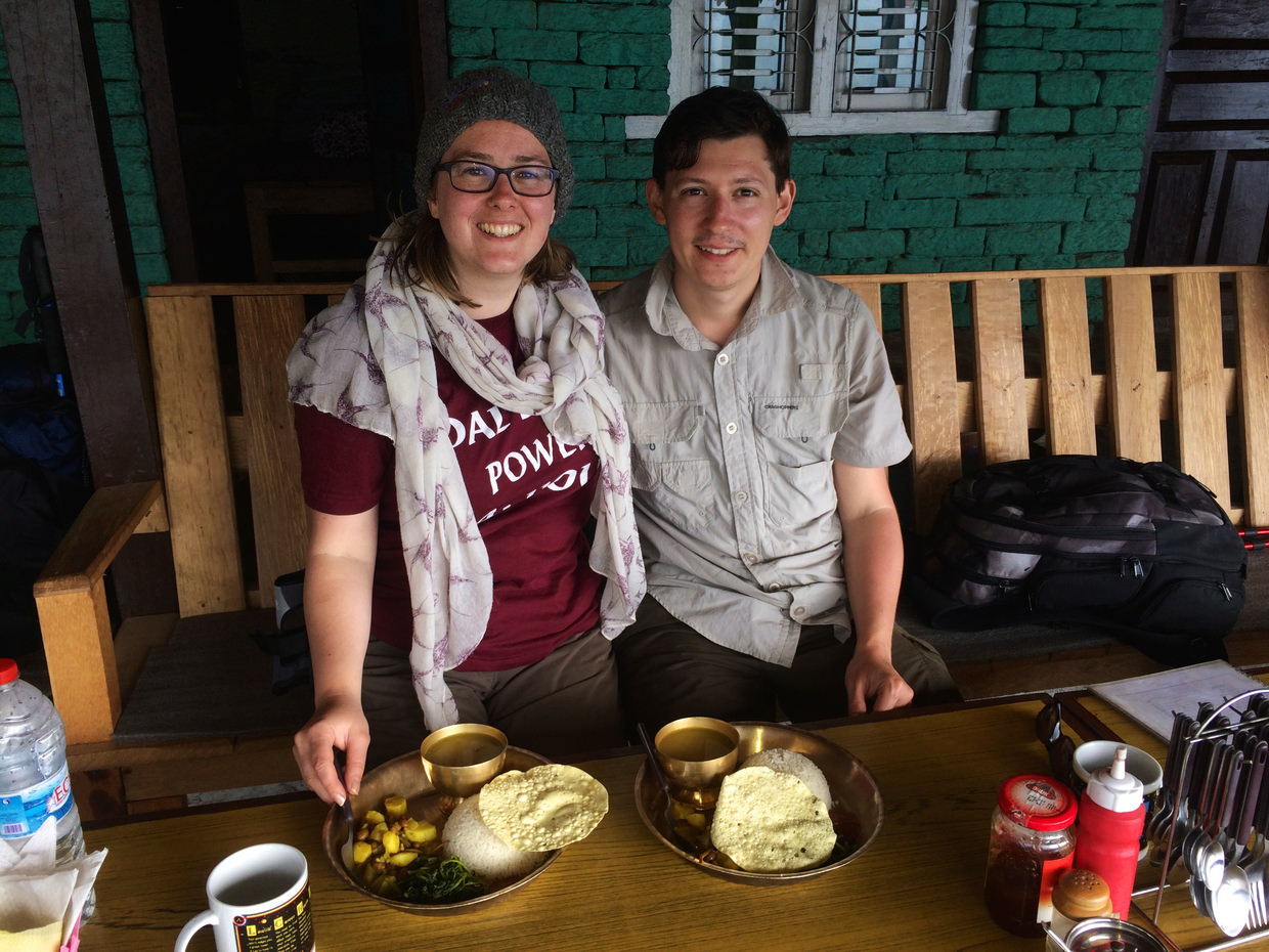
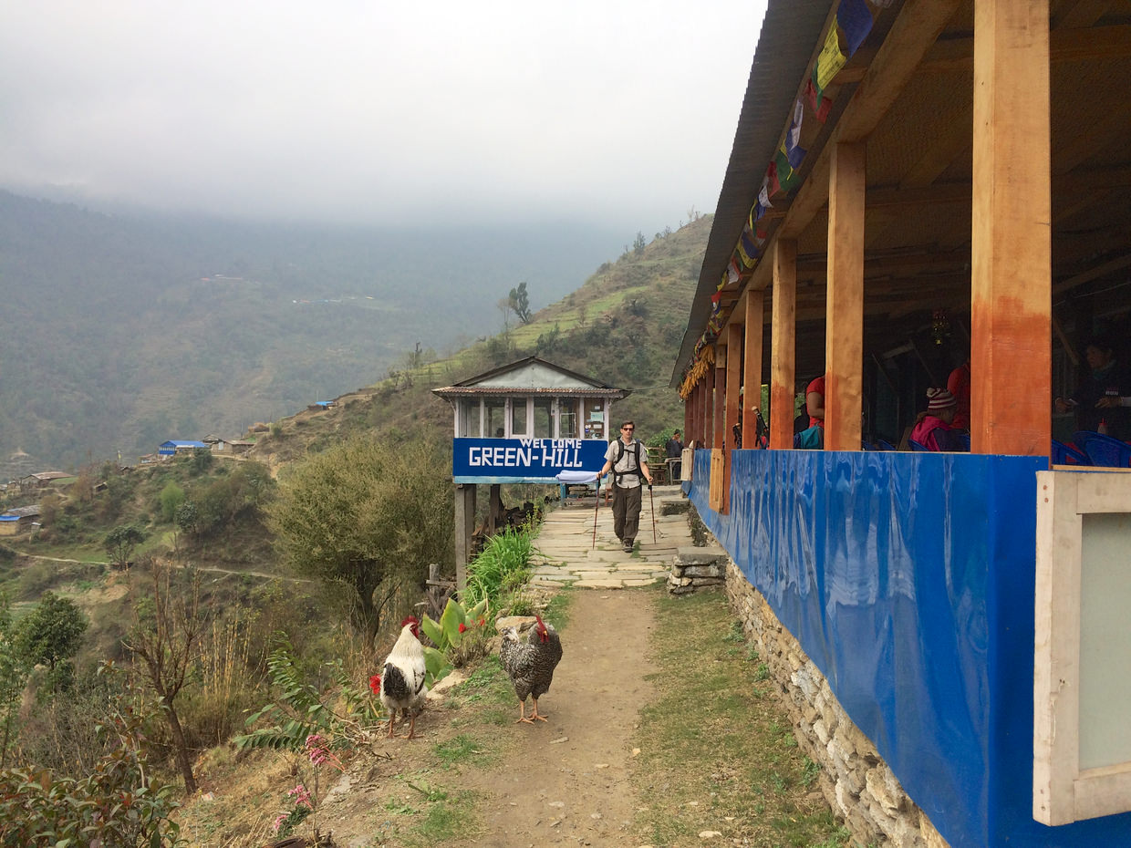
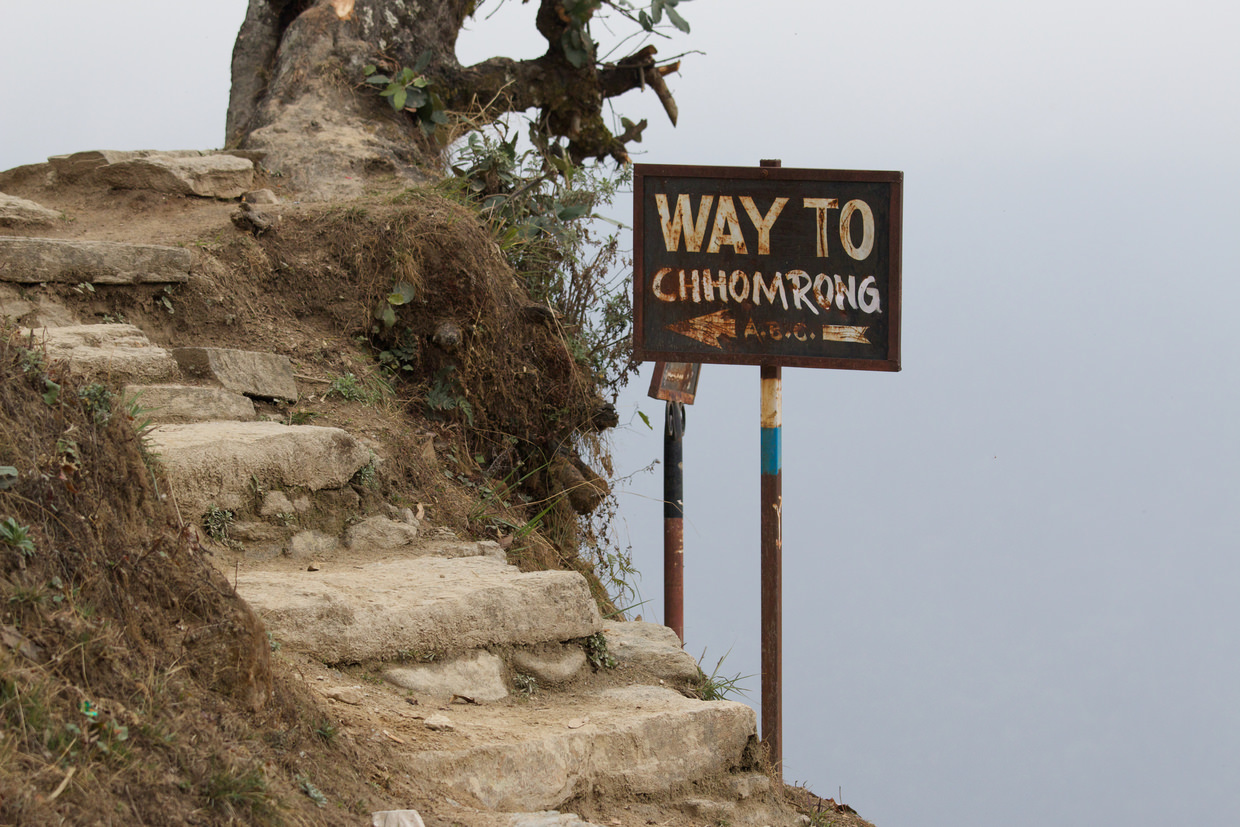
We crossed ‘Kadoorie’ bridge, perhaps uncomfortably high, and continued along the chomrong pass, which runs along the edge of a steep hillside, until we found “Green-Hill”, where we stopped for lunch. 2 orders of Dal Bhat to refuel us, plus some hot chocolate and hot lemon. Outside two cockerels vied for the loudest call award. On a glass window were two NASA stickers, I was particularly excited by the ISS 25 insignia.
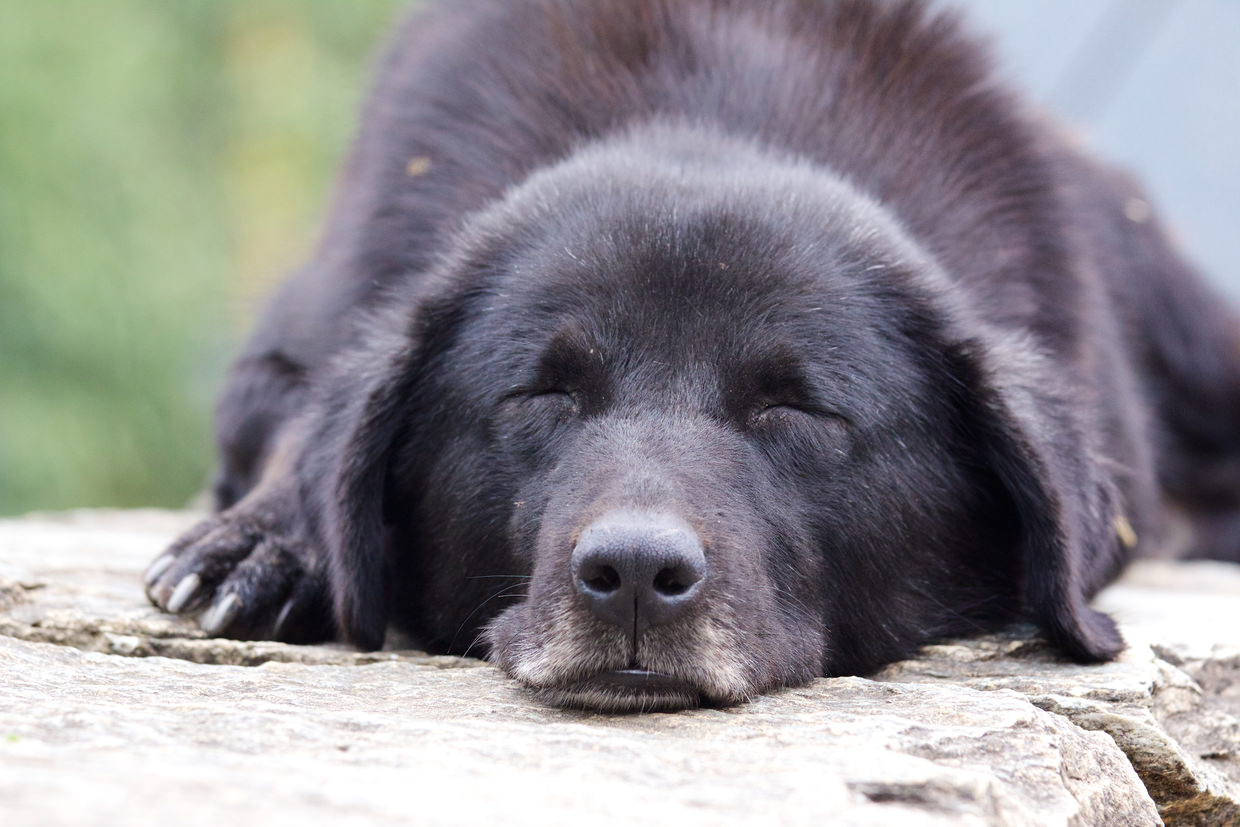
From the restaurant we carried on along the pass, stopping now and then for a bit of birdwatching. A pair of steppe eagles flew high above us. The chomrong pass ends with a fork at Taulung. Go left, and you begin the journey to ABC and Chomrong; go right and you head down a steep descent to Jinhudanda. Before we’d batter our knees with yet more steps, we rested at Taulung, which offers nice views of the foothills. A family of black and brown dogs wearily watched trekkers come and go.
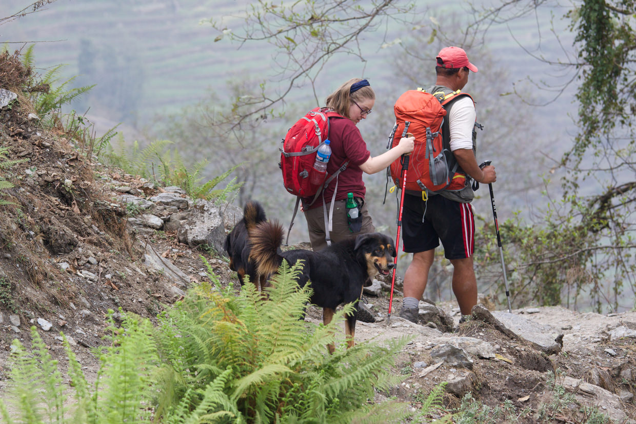
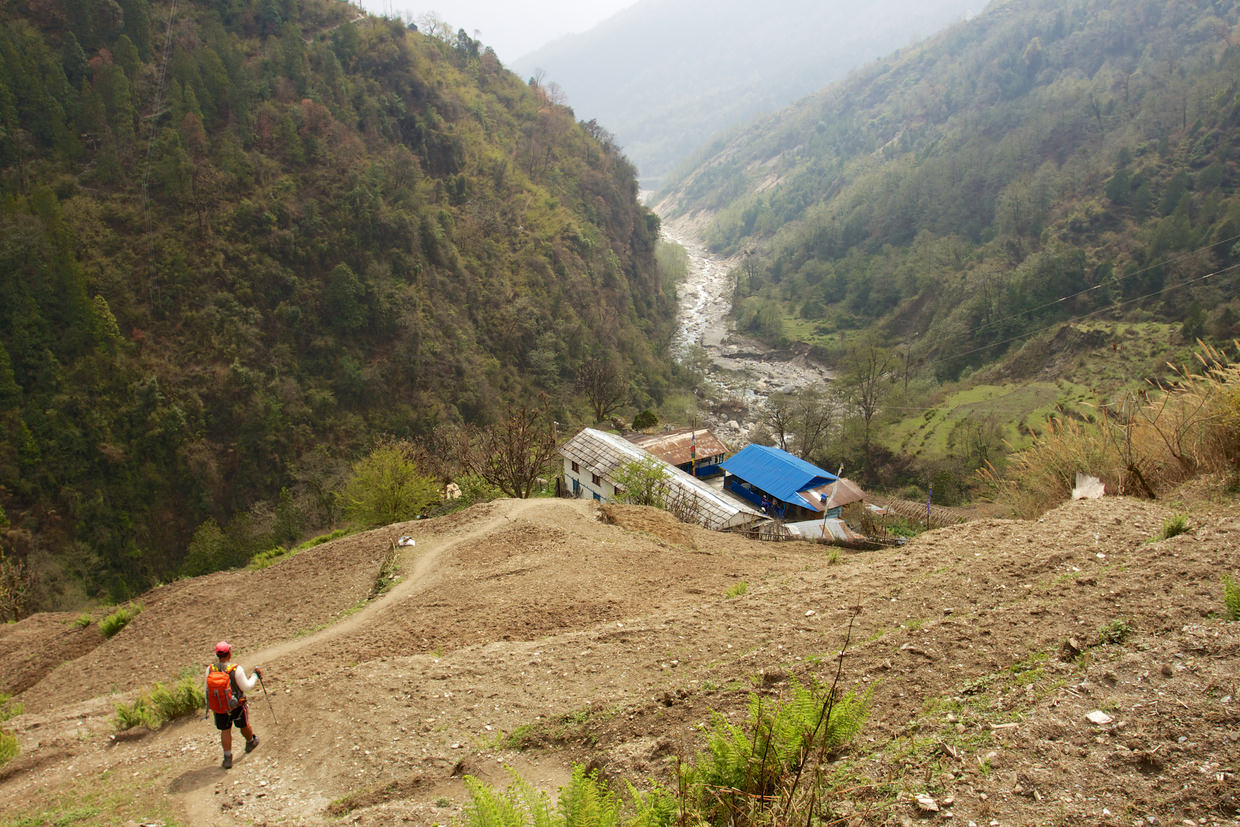
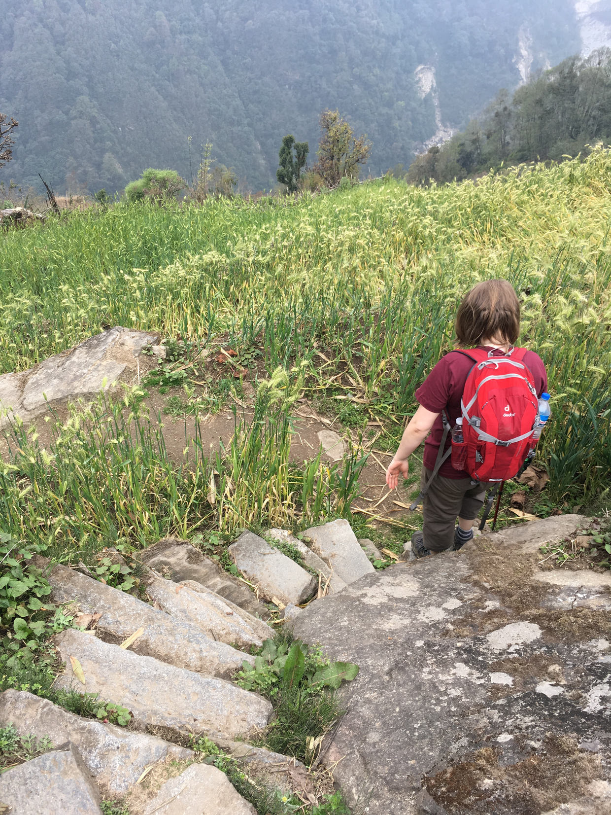
The descent doesn’t begin right away; we meandered through farmland, mostly arable – predominantly barley. This trail felt different, there were no lodges, or rest points, and at times it felt like we walked through farmer’s fields, Big D described it as a shortcut, though it seems we still followed the trail on the map.
Then we reached the steps, which Big D stormed down – he had an “angry tummy”. Sam took it slowly, slowly, and soon enough we reached Jinhudanda and our lodge, just in time for my “angry tummy” to be calmed. Ahem.
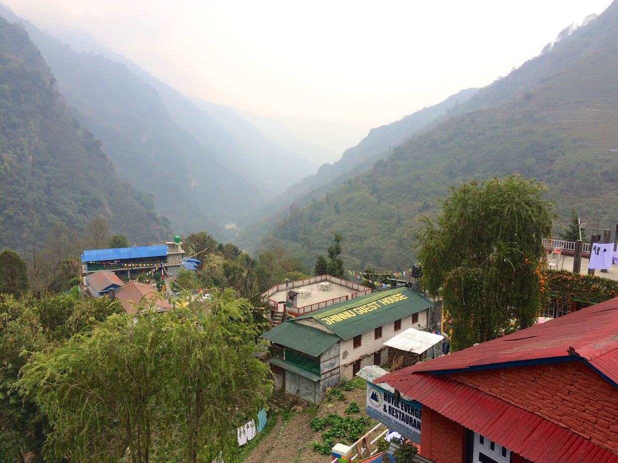
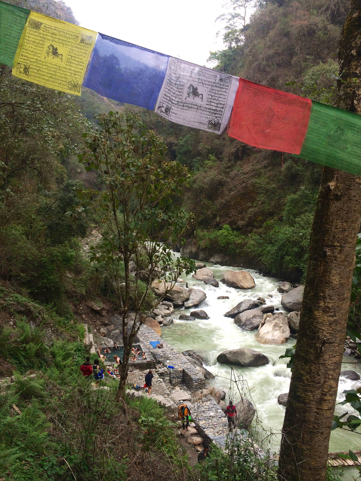
We stayed at “Hot Spring Cottage and Restaurant”, with a good sized room, a mountain view and our own bathroom, once more. While I recouped in a double bed (that must’ve taken some doing to get up here), Samantha went with Big D down to the hot springs – a 15 minute walk down, 20 minutes back up. The springs were more lukewarm than hot, and were still damaged from last year’s monsoon season. Outside the window I watched a pair of beautiful sky-blue verditer flycatchers, spotting them is a sign of the coming hot and wet summer. When Sam returned, and about the time she suggested we hang out some of our wet clothes to dry, the heavens unleashed a dramatic downpour.
We had curried veg and rice, fried potatoes, and a veg spring roll for dinner – though the spring roll was more of a pancake than the crispy kind we’d expected, delicious nonetheless – oh and it came with fries, perfectly crispy homemade fries. We followed it with a snickers roll, also a pancake.
